Distance: 6km
Time: 3 hrs
01/02/2026
A short afternoon visit to a spot I’ve been going since a teenager. In those days we would descend the valley shirtless and with absolutely no water to spend hours swimming and jumping into the crystal clear waters of the Grose River. It’s a surprise none of us ever had to be winched out. These days it is largely unchanged despite being one of the most easily accessible wild rivers from Sydney.
I had started a lot later than I would have liked at about noon on a very warm Sunday. I drove all the way up to the carpark at the top of the hill to visit the lookout and begin my descent, passing 2 beautiful red-tailed black cockatoos.
The views from the lookout might not be quite as dramatic as the sheer sandstone cliff faces seen in the upper Grose but are amazing nonetheless. You can hear the running water below even with the low summer levels. I somehow forgot to actually take photos here.
From here I bush bash the ridge south-east down to an unofficial track known as the “Wire Trail”. The conventional way down to the river is a fire trail which starts at one of the lower car parks. The Wire is the only way I have ever gone as it’s a lot quicker and more fun, I wouldn’t recommend going this way during/just after rain or if you aren’t confident with scrambling/climbing.
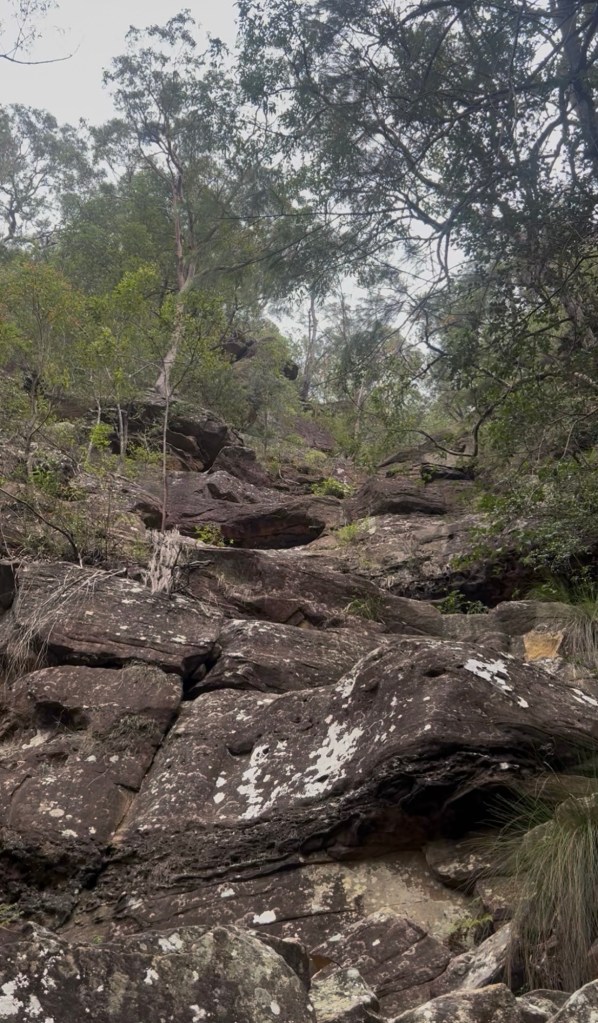
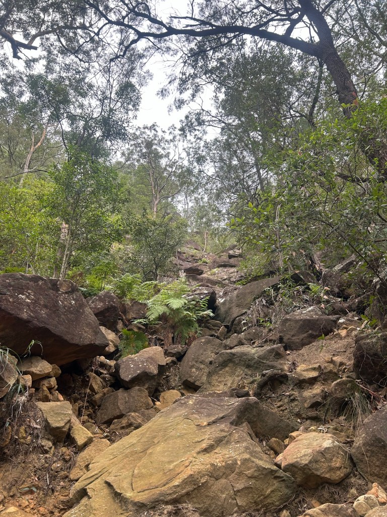
Before long the rough track comes to a small steep gully which is usually pretty dry unless there has been heavy rain. It’s pretty easy finding the safest route down and there are plenty of hand and foot holds. Nothing exposed or super technical. I finally remembered to start taking photos as I neared the bottom of the short climb down.
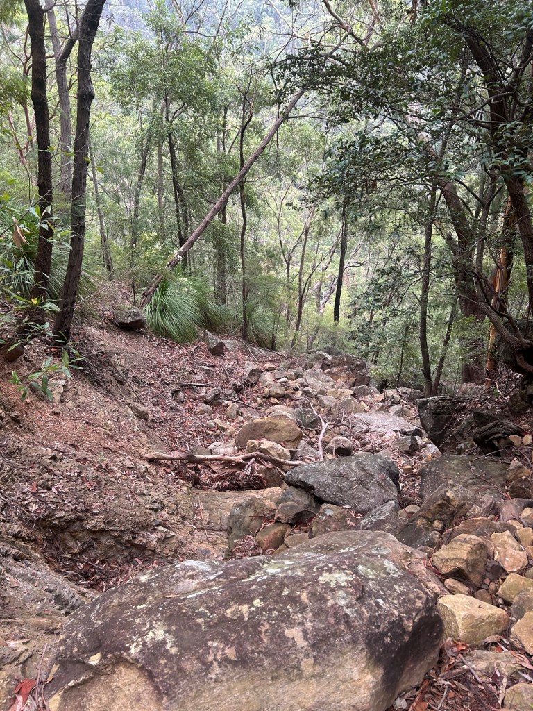
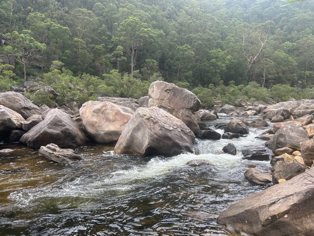
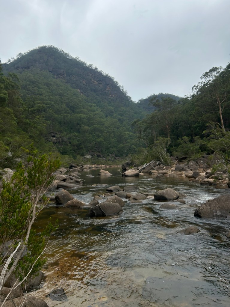
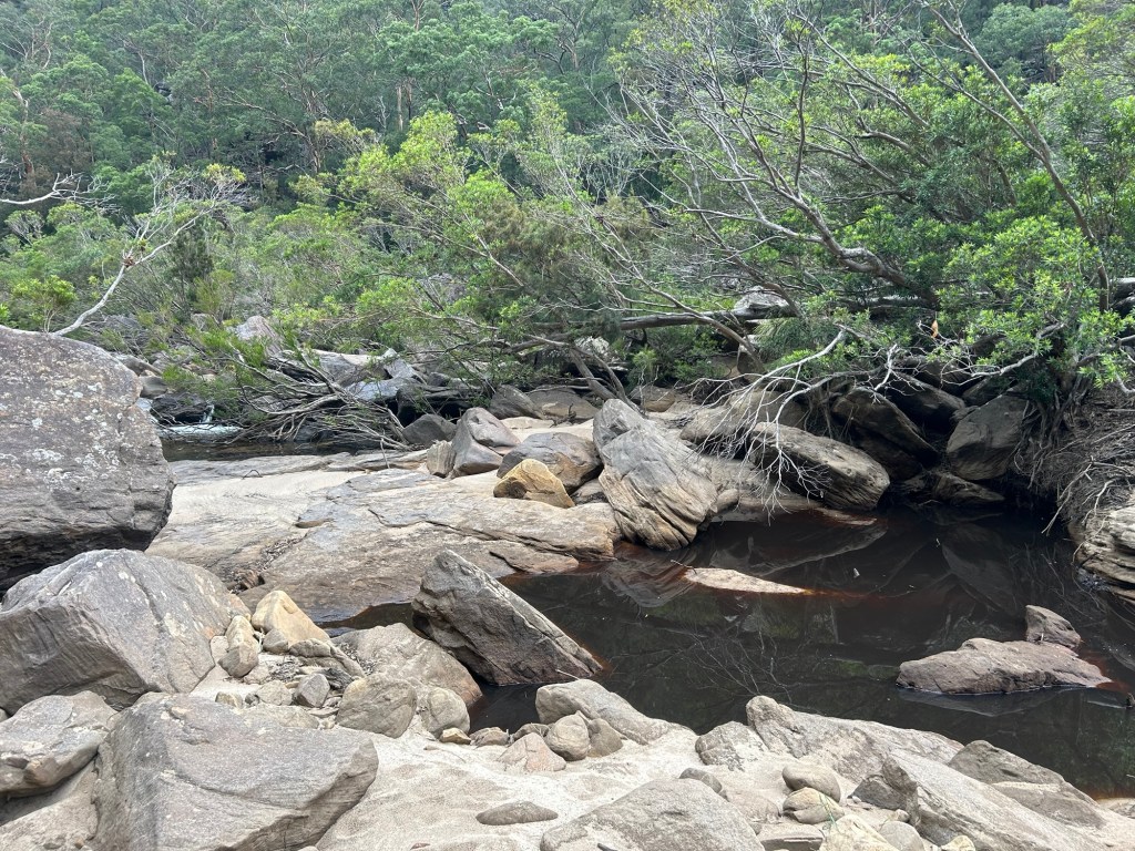
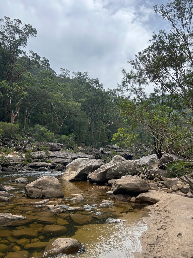
Once at the bottom the view of the river comes into view almost instantly. The scrub clears for the sand and boulder lined river bank.
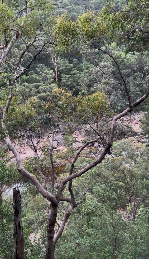
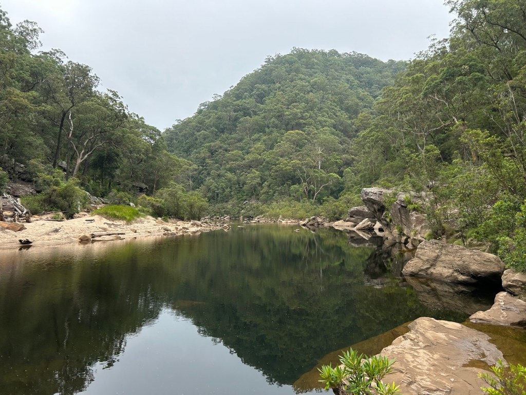
Following the river upstream is all easy going along large flat rocks until you reach a point where there is a drop of about 8m. I headed back up into the bush to bypass this following an obvious footpad for about 200m back down to the level of the river. There is a large open waterhole here, perfect spot for a swim.
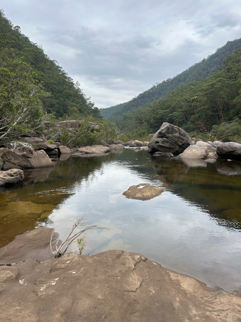
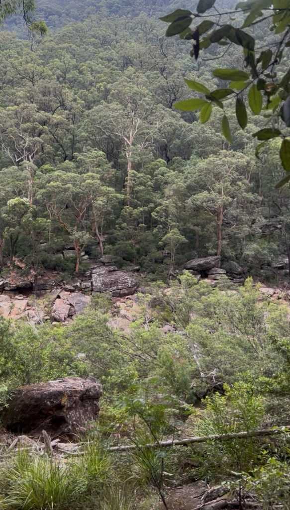
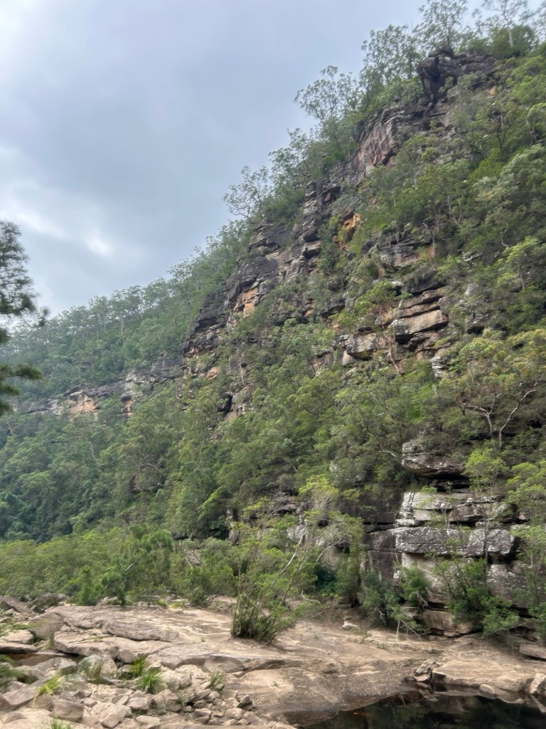
Heading upstream (east) there is a short crossing of Burralow Creek and into much rougher terrain. The base of Paterson Hill (pictured on the right in the image above) is a scrubby steep boulder field just begging you to roll an ankle.
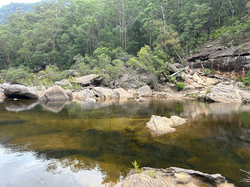
After about 200 metres the river is also littered with boulders big and small. This made for easier walking (hopping). As I plotted my way along rock to rock I took in spectacular views of Grose Head South on the left hand side of the river, periodically scooping up a hatful of water and dumping it on my head.

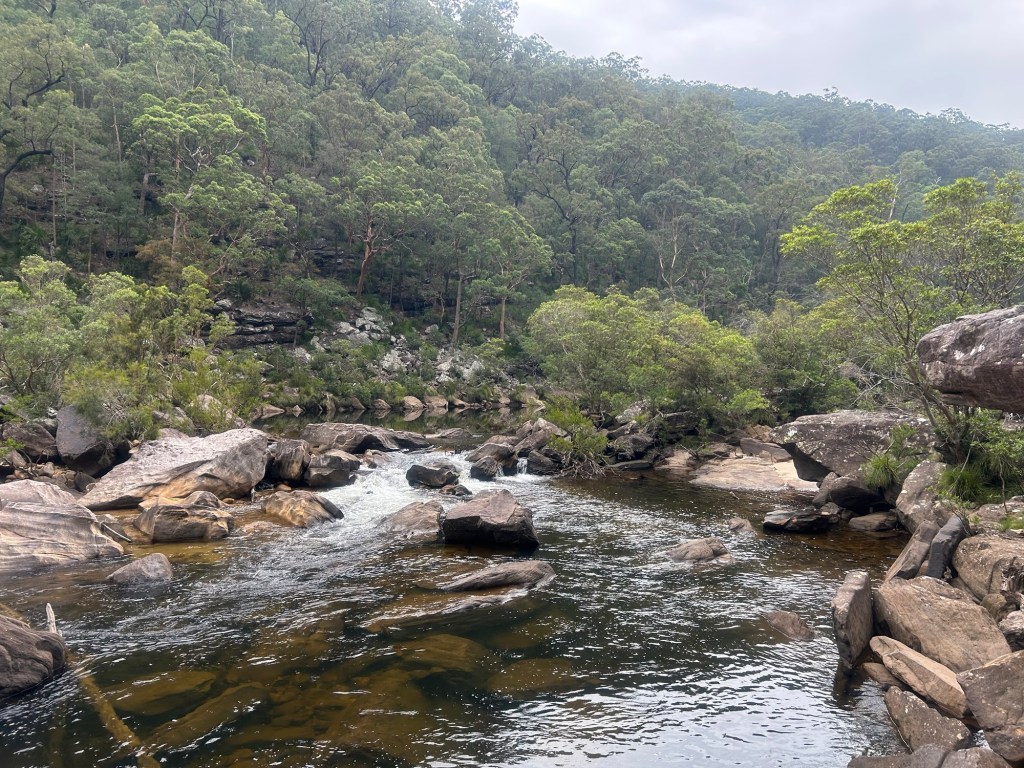
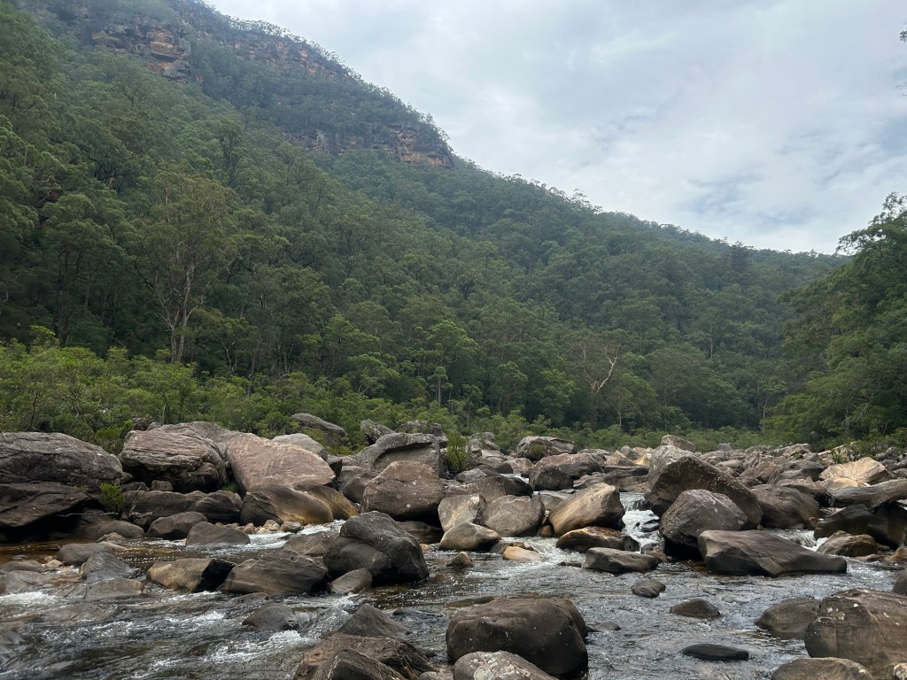
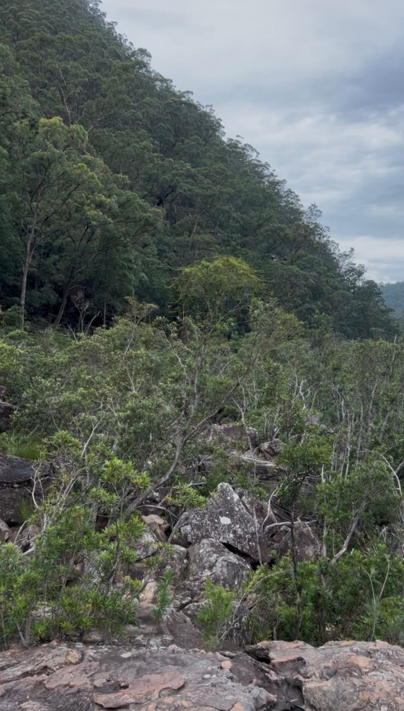
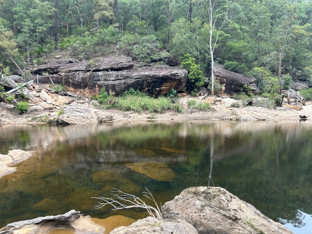
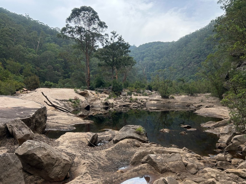
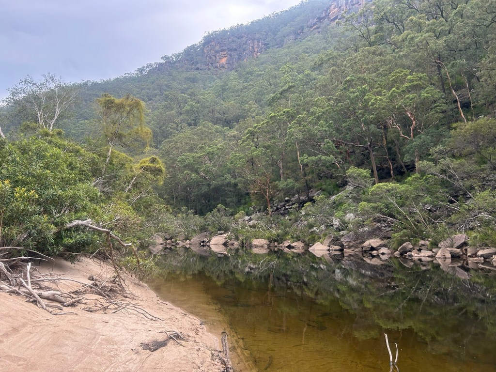
Eventually I reach a break in the minefield of slippery rocks where a sand bank has formed in the middle of the river. During the middle winter it would likely be completely covered but at this time of year it makes for a perfect sandy beach and the most pleasant ground to walk on of the entire journey. At this point the cliffs on either side of the river do get drastically taller and more sheer.
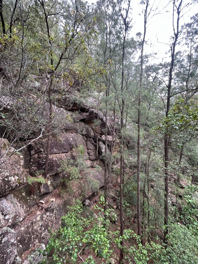
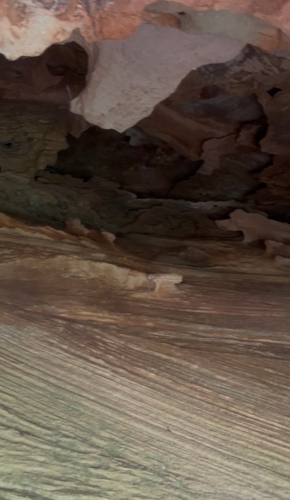
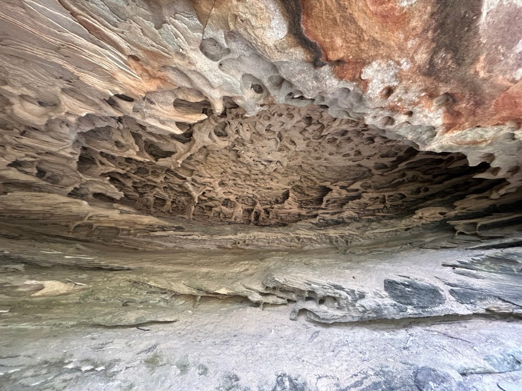
On my return I took a slightly higher route and found these caves.
This is a great base for many longer walks so I am eager to return with more spare time for a proper adventure.

Leave a comment